


- HOME
 ☆ XXL SALE ☆
- CLOTHING
- SHOES
- SPORTS
 Climbing
- Ascenders
- Crash pads
- Ice Axes
- Quickdraws
- Nuts & climbing friends
- Belay devices
- Carabiners
- Pulleys
- Ropes
- Climbing sets
- Climbing Shoes
- Crampons
- Chalk & chalk bags
- Clothing
- Anchors & bolts
- Technical climbing gear
- Helmets
- Slackline
- Loops
- Ice screws
- Training boards
- Harnesses
- Rope bags
- Descender brakes
- ...show all
 Via Ferrata
 Hiking
 Camping
 Running
 Ski Touring
- EQUIPMENT
- Work & safety gear
- SPECIAL OFFER

































 adamsport.store
 adamsport.store
 adamsport@adamsport.e
TM 475 Nízke Tatry - Chopok, Kráľova Hoľa 1:40 000
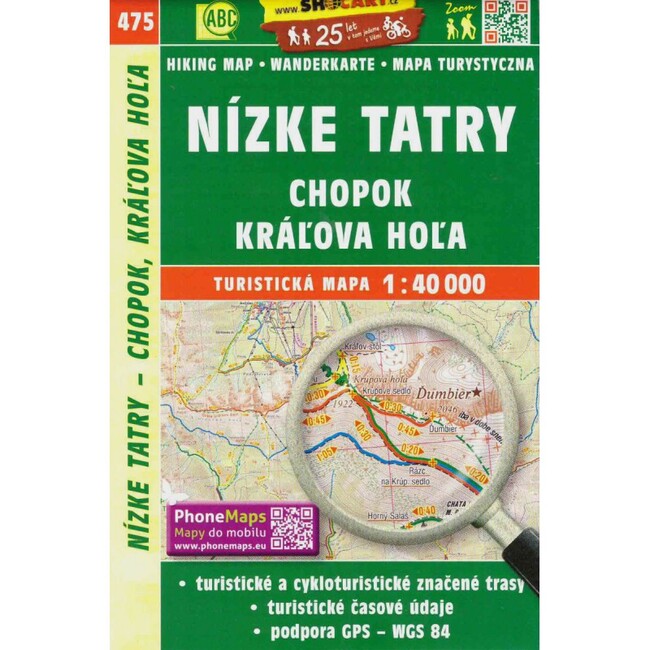
Double-sided map in scale 1:40 000 for tourists and cyclists. Region Low Tatras - Chopok, Kráľova Hoľa.
Contains:
- all hiking trails including mileage, nature trails, cycle paths
- road network (main and secondary roads) with main road numbers, unmarked, unpaved, unpaved roads, footpaths
- the river network
- railway network
- practical information (springs, petrol stations, rest areas, accommodation, car parks, hospitals, airports, spas, holiday resorts, etc.)
- cultural, historical and natural monuments, tourist attractions, protected areas, panoramic routes
- contour lines
- shaded elevation data
- forests
- gPS compatible
Format: 107 x 164 mm
Construction: folded, soft cover, plastic case
Language
Weight: 55 g
Scale: 1:40 000
Edition: fifth, 2018


TM 475 Nízke Tatry - Chopok, Kráľova Hoľa 1:40 000
Five reasons to shop at ADAMSPORT.STORE
|
Express delivery |
Verified shop |
Guaranteed |
Customer service |
Our local store |


Store adress:
| iMi Trade s.r.o. Jánošíkova 21 010 01 Žilina |
Slovakia
adamsport@adamsport.store

VAT: 31 565 531
VAT ID: SK2020445416

Share your opinion with others
Add reply to comment: